Water & Environment
GeoVista has very good knowledge and experience in geophysical surveys related to groundwater and contaminated soils. Many physical properties of the soil are strongly linked to the water content. Therefore, geophysics is used to locate aquifers and to trace the pathways of water or contaminants in the soil. We can help you plan, carry out and evaluate geophysical surveys to detect contamination or provide evidence for water supply.
Below are some of the issues we help our customers with.
Groundwater
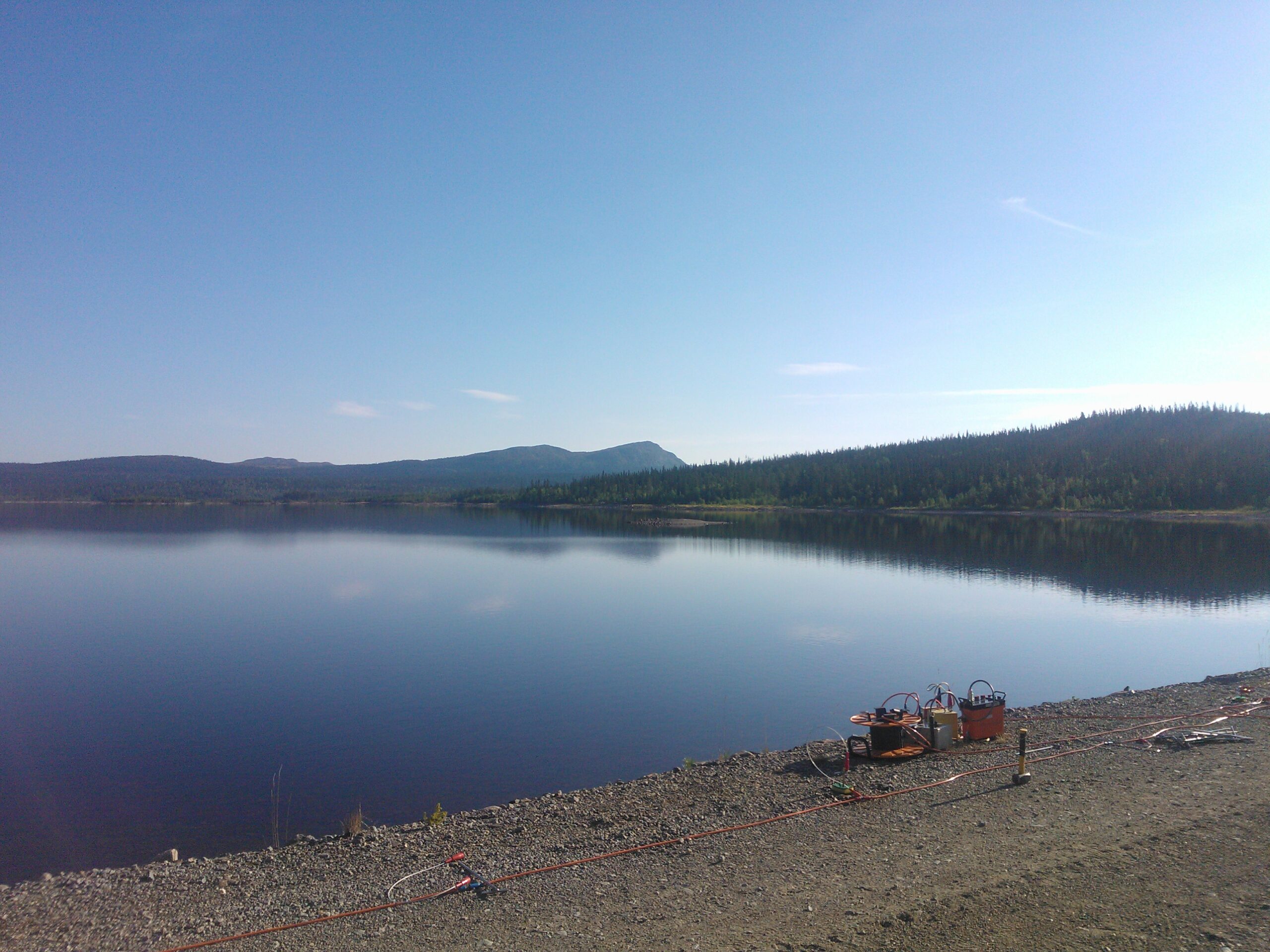
- Magnetic Resonance Sounding (MRS) to scan or probe the soil's distribution of porosity and permeability.
- Locating new water resources, water-bearing layers with high/low permeability, such as gravel/silt layers or fracture zones in the bedrock.
Pollutions
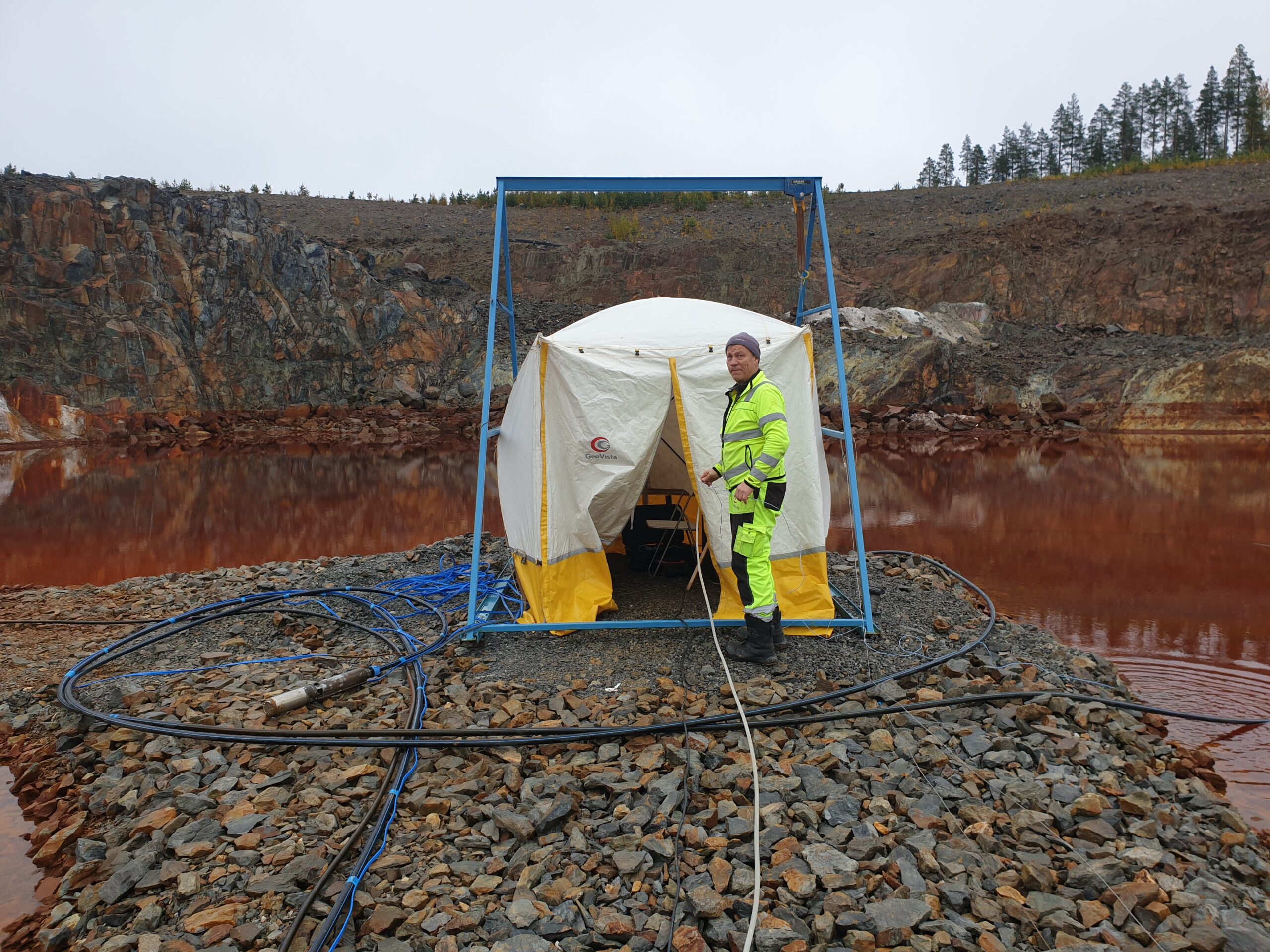
- Map and track pollutants from landfills or industrial sites, using ground-geophysics or in and between boreholes. With time-series it is possible to create time lapse models to measure the propagation of a contamination plume or salt water intrusion.
- Locate buried metal objects, for example oil barrels
- Identified possible flow paths by characterizing water-bearing and impermeable layers.

Nils Perttu
Tel: +46 70 696 91 95
E-mail: nils.perttu@geovista.se
GeoVista was the main supplier of geophysical services during the site investigations for SKB (Swedish Nuclear Waste Management Company), for a repository for high level nuclear waste. The project is, so far, the most extensive geoscientific project run in Sweden.