Geophysical Surveys
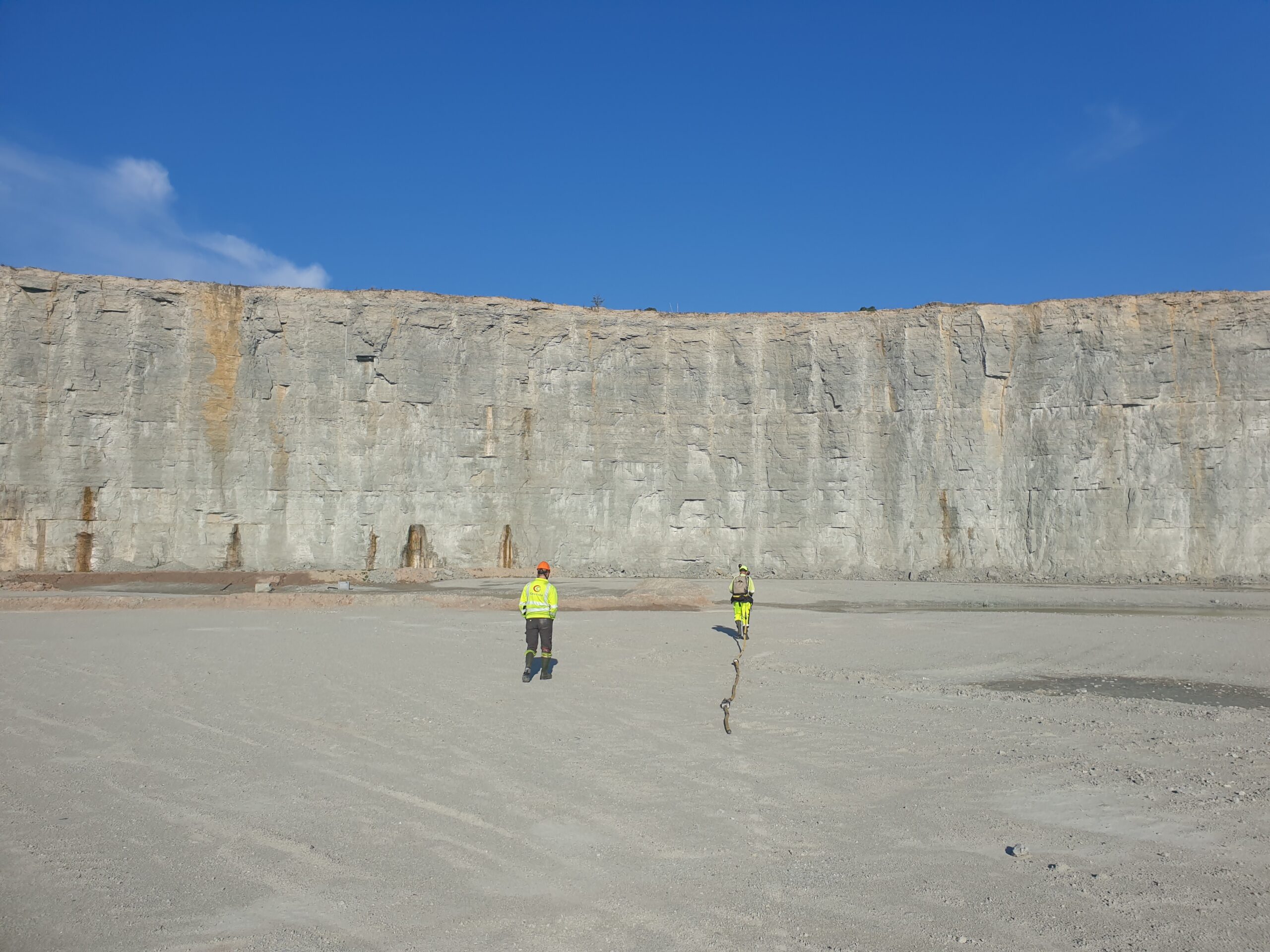
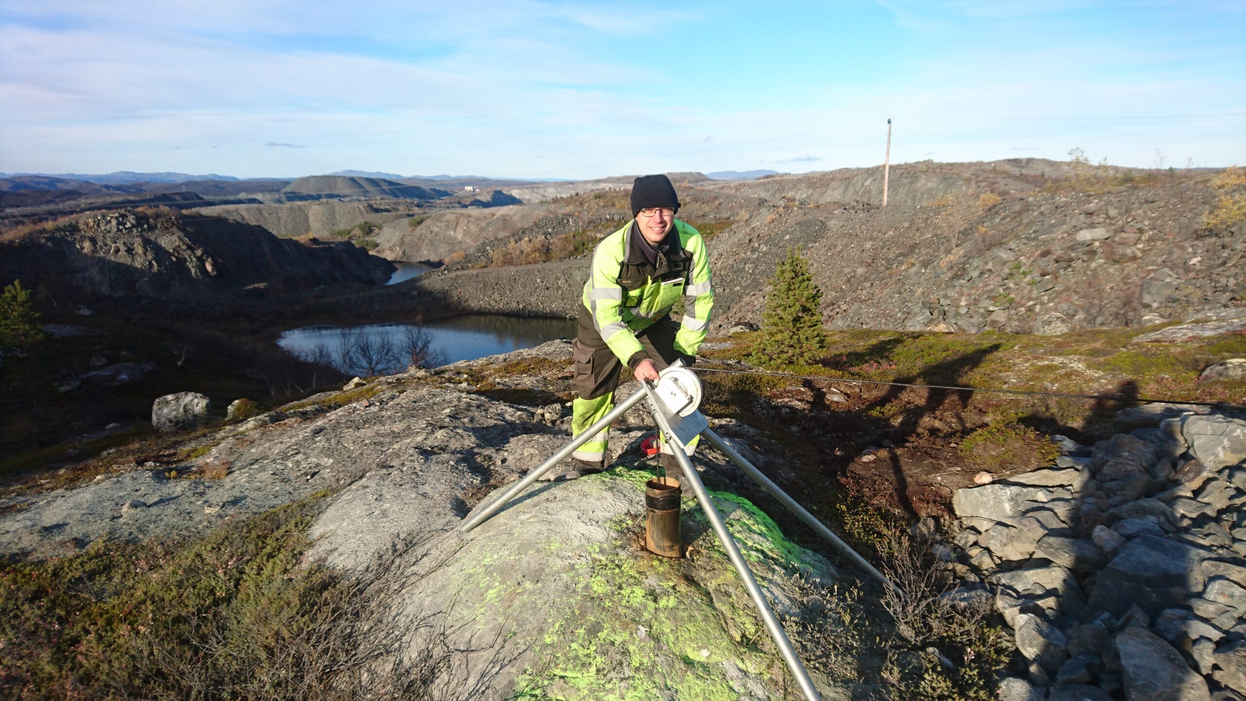
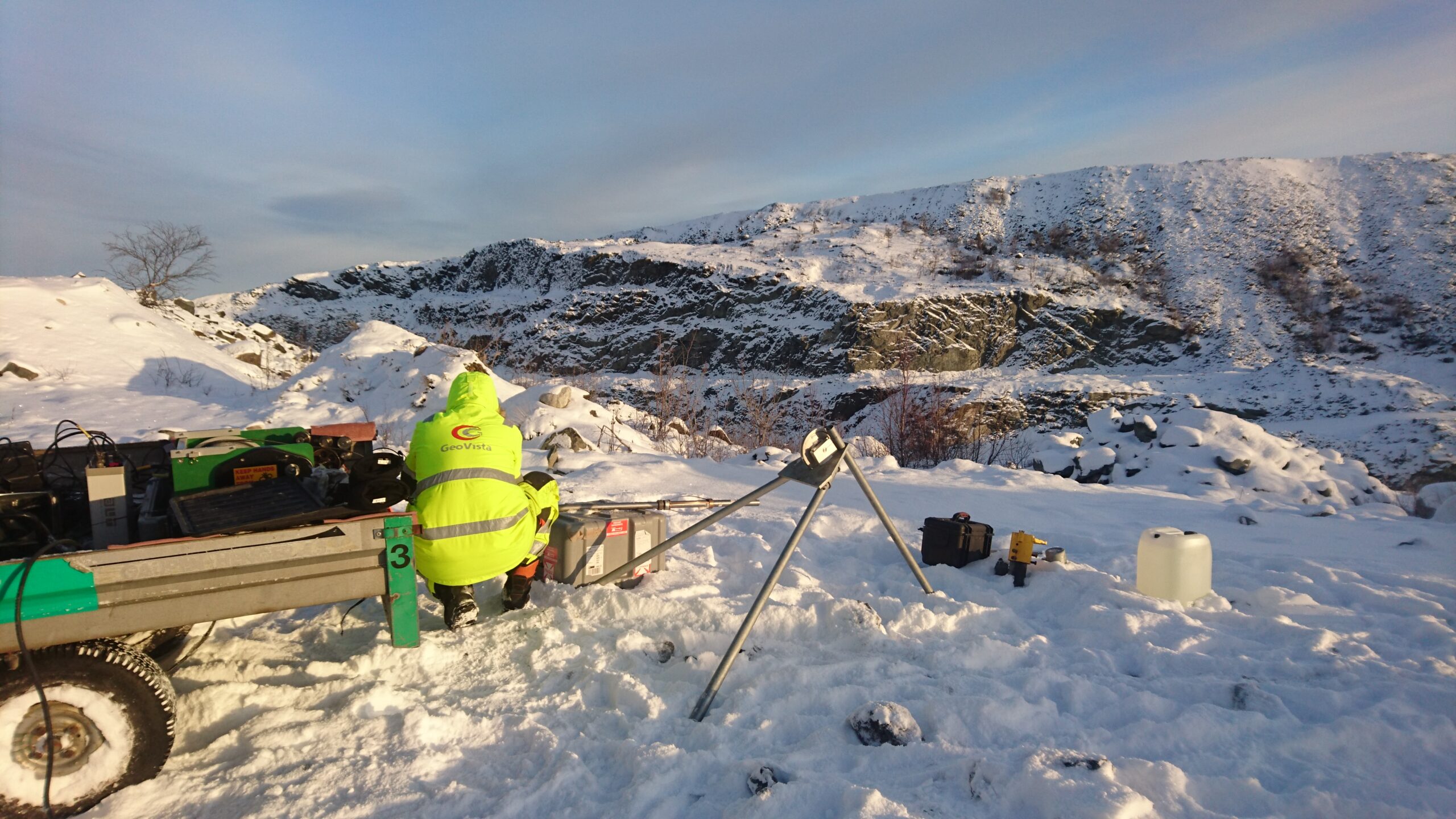
GeoVista has a solid experience of geophysical surveys in mineral exploration, infrastructure, environmental and mining projects. We carry out geodetic surveys with high-precision instruments and we also offer laboratory measurements of petrophysical properties. Working with us unlocks access to experienced and skilled staff and a large selection of modern measuring systems.
Our measuring services include:
- Wireline-logging (Optical and Acoustic imaging, Water flow, full-wave sonic, Resistivity, IP, Density, 3-comp magnetometry, Magnetic susceptibility, pump-tests etc.)
- TEM on the ground and in boreholes
- Magnetometry (high resolution ground measurements)
- Electric resistivity and IP (2D, 3D including tomography between boreholes)
- Refraction seismics (P- and S-wave)
- Cross-hole seismic (seismic tomography)
- Surface wave seismics (MASW)
- Ground Probing Radar
- Gravimetry
- Ground conductivity
- Frequency domain EM (Slingram and VLF)
- Magnetic resonance (MRS)
- Self-Potential (SP)
- Geodetic Surveys with RTK-GPS
With our partner Geomap Norway A/S we can also offer measurements with marine refraction seismic (seismic).

Håkan Mattsson
CEO, Senior Geophysicist, Infrastructure and Mineral exploration
Phone: +46 70 675 81 24
E-mail:
hakan.mattsson@geovista.se


